



From Aryabhata to NavIC
How a small satellite in 1975 grew into a space programme that guides our fishermen, warns our coasts and maps our land.
Picture a fisherman far out in the Bay of Bengal. No mobile tower for miles. The sky is turning a strange grey. How does he know a cyclone is coming? A satellite, circling high above, already saw it days ago. Another one is ready to tell him exactly where he is, and which way is home.
That is not science fiction. That is India, today.
In 1975, India launched Aryabhata. The young Indian Space Research Organisation (ISRO) had one clear goal: prove that India could build a satellite and run it in orbit. Five decades later, ISRO has flown well over 120 spacecraft missions across Earth observation, communication, deep space and navigation.[1]
▼Fifty years in eleven steps
▼NavIC: India’s own sense of direction
Here is a simple idea with a big meaning. If you rely on someone else’s map, you can lose your way when they switch off the light. In 1999, during the Kargil conflict, India learned this the hard way. The response was a made-in-India positioning system: the Indian Regional Navigation Satellite System (IRNSS), known to everyone as NavIC, short for Navigation with Indian Constellation.[2][3]
Standard Positioning Service (SPS)
How does it find you? Four steps.
Satellites send the time
Your device listens
Delay becomes distance
Distances become a dot
Two kinds of orbit, one team
Geostationary (blue dots)
Illustration only. Real orbits are far larger and not to scale.
▸ EXPLAIN IT SIMPLY (GRADE 5)
▸ GO DEEPER (RESEARCHER’S NOTE)
▼Two generations, one goal
First generation: IRNSS-1A to 1I
Second generation: NVS-01 to NVS-05
NVS-01 reached its orbit in May 2023. NVS-02 followed in January 2025 but did not reach its intended orbit. Reports before last night’s launch counted only three fully working navigation satellites.[9][10]
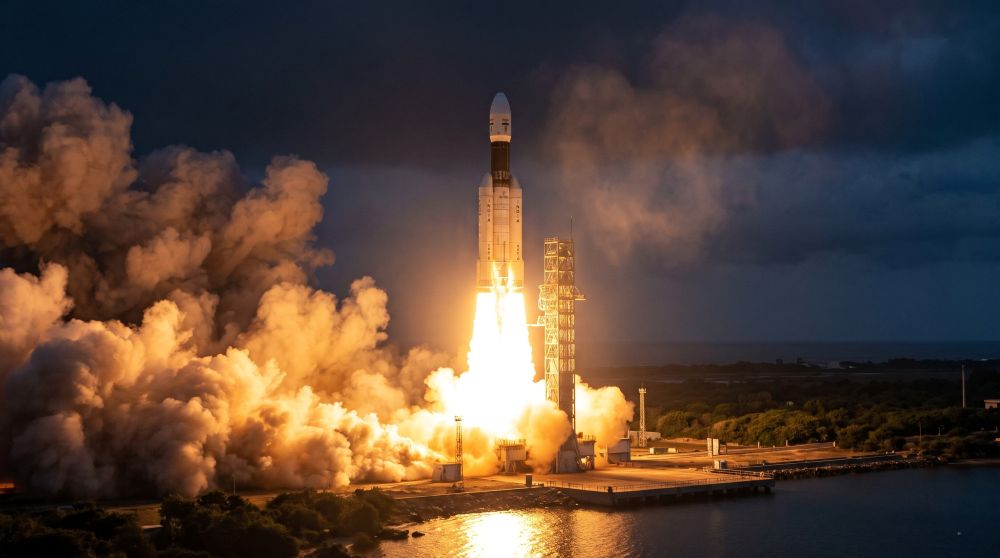
On 30 October 2026, a GSLV rocket lifted NVS-03 off from Sriharikota. ISRO announced that it was placed in its intended orbit. It still has to move to its working position and be tested, and more NVS satellites are planned to follow.[8]
Is that a setback? Yes. Is it also a story to be proud of? Absolutely. Real space programmes are built on failures that get fixed in the open, then flown again. India found the fault, corrected it, and went back to the launch pad.
▸ EXPLAIN IT SIMPLY (GRADE 5)
▸ GO DEEPER (RESEARCHER’S NOTE)
▼Eight families, one mission
Every satellite family has a job. Here is the whole team on one page. Tap any reference number to jump to the source.
Aryabhata, Bhaskara, Rohini
INSAT series
IRS and Resourcesat
Cartosat and Radar Imaging Satellite (RISAT)
EDUSAT and Kalpana-1
Geosynchronous Satellite (GSAT) modern fleet
IRNSS and NVS (NavIC)
Chandrayaan, Mangalyaan, Aditya-L1
▸ RESEARCHER’S TABLE: THE FLEET AT A GLANCE
| SERIES | ERA | PRIMARY APPLICATION | SOURCE |
|---|---|---|---|
| Aryabhata, Bhaskara I and II, Rohini | 1975 to 1983 | Experimental and space heritage: orbital mechanics, ground tracking, early telemetry; first domestic launch on SLV-3 | [1] |
| INSAT (1A to 4CR) | 1982 to 2000s | Telecommunications, broadcast, meteorological cyclone warnings, early disaster alerts | [1][4] |
| IRS and Resourcesat | 1988 to present | Crop yield estimation (FASAL), soil health, drought, groundwater, forest cover | [5] |
| Cartosat and RISAT | 2005 to present | Sub-metre cartography, infrastructure planning, border surveillance, all-weather radar flood mapping | [1][5] |
| EDUSAT (GSAT-3) and Kalpana-1 | 2002 to 2004 | Interactive tele-education; dedicated weather monitoring | [1] |
| GSAT (GSAT-6 to 31) | 2010s to present | Direct-to-Home TV, VSAT banking networks, in-flight and maritime broadband | [1] |
| IRNSS and NVS (NavIC) | 2013 to present | Positioning, navigation and timing: fisher alerts, Automotive Industry Standard 140 (AIS-140) trackers, grid time sync, geofencing | [2][3] |
| Chandrayaan, Mangalyaan, Aditya-L1 | 2008 to present | Lunar surface water, low-cost interplanetary transfer, observatory at the Sun-Earth L1 point | [1] |
▼Who talks to the satellites?
A satellite is never alone. People on the ground watch, steer and fix it, night and day. You rarely hear about them, so let us say it plainly: they are a big part of this story.
ISTRAC
Master Control Facility (MCF)
▼Space, but down here
Rockets make the headlines. The real magic is what flows down from space afterwards, into boats, buses, farms and village lanes.
Safer seas
Safer roads
Warnings in time
Land you can prove
▸ EXPLAIN IT SIMPLY (GRADE 5)
▸ GO DEEPER (RESEARCHER’S NOTE)
▼The Mission Control Quiz
Eight questions. Tap an answer to lock it in and see why. Finish all eight to get your verdict, Cadet.
Answer: D. Space Applications Centre, Ahmedabad. The Space Applications Centre (SAC) in Ahmedabad.[3]
▸ SHOW A SAMPLE ANSWER
▼From reader to space explorer
Reading is great. Doing is better. Pick one mission, and share what you find with your class, your family or your teacher.
Be a weather detective
Find your school from space
Meet the ground team
▼A quiet kind of pride
From a modest first satellite to a navigation system built with an indigenous atomic clock, this journey was never only about rockets. It was about confidence. A country that learned to build, to correct itself, and to put that knowledge to work for a fisherman, a farmer and a schoolchild.
▼Verified sources and further reading
https://www.isro.gov.in/SpacecraftMissions.html
https://www.isro.gov.in/SatelliteNavigationServices.html
https://www.isro.gov.in/satellitenavign.html
https://www.mosdac.gov.in/
https://bhuvan.nrsc.gov.in/
https://www.isro.gov.in/ISTRAC.html
https://www.isro.gov.in/MasterControlFacility.html
https://www.space.com/space-exploration/launches-spacecraft/india-launches-nvs-03-navigation-satellite-gslv-rocket
https://www.theweek.in/news/sci-tech/2026/09/29/navic-satellite-constellation-importance.amp.html
https://theprint.in/science/isro-nvs-03-launch-navic-navigation-system/3081997/
https://aviation-defence-universe.com/nvs-02-advancing-indias-regional-navigation-capabilities
References [1] to [7] are official ISRO and Department of Space portals. References [8] to [11] are news reports used for the latest NavIC status as of 31 October 2026. Launch and orbit status can change, so please check ISRO’s own pages for updates.
▼Words and short forms, decoded
Every short form in this article is spelled out the first time it appears, and again here. Hover over any dotted-underlined short form in the text to see its full form.